
Blueprint of Underground Infrastructure
Transform buried utilities into accurate digital blueprints. Detect, map, and visualize electrical cables, communication networks, pipelines, and other subsurface assets to enable safer excavation, smarter planning, and efficient asset management
📍 Accurate Utility Mapping
⚡ Prevent Utility Strikes
🗺 Digital Twin Generation
🚧 Safer Excavation
📊 Asset Lifecycle Management


See Through Concrete
Subsurface inspection of concrete structures using advanced radar and robots to assess structural health, uncover hidden defects, and deliver actionable intelligence for proactive maintenance.
Assess structural health, deterioration, and reinforcement conditions to support maintenance planning and extend asset lifespan.
Assessment of Reinforcement Location, Cover, Corrosion, and Integrity
Locate and assess moisture intrusion, leakage paths, and water accumulation within concrete structures to support maintenance and durability assessments.


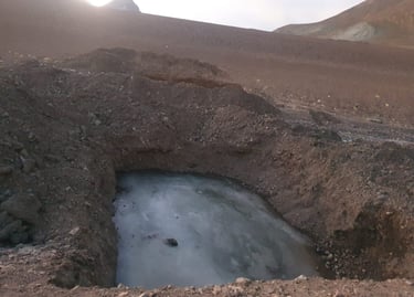
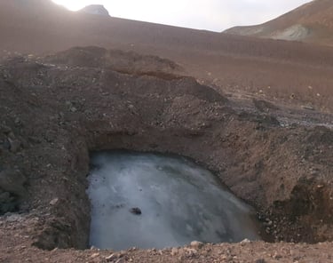
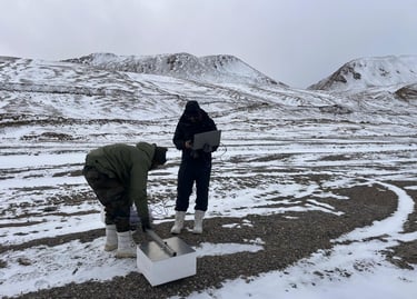
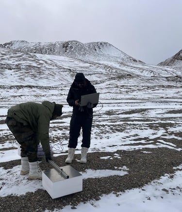
Permafrost Identification
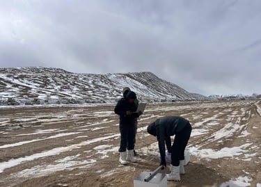
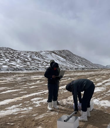
Permafrost, primarily found in eastern Ladakh at an altitude of 15,000 feet, poses significant challenges for infrastructure development and movement.


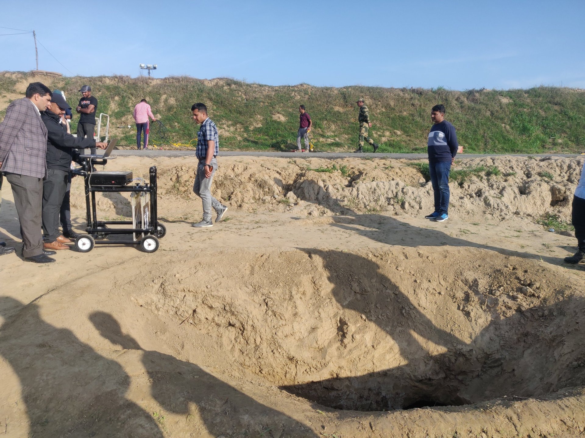
Electrical cables detection
Identify each cable from a bunch of cables or utilities like dead or alive, phases of each cable
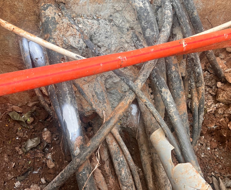
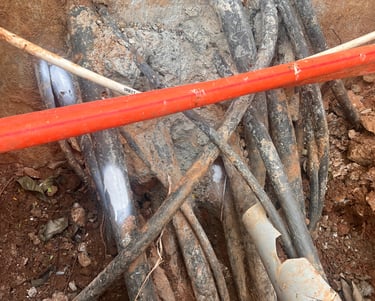
Utiltiy Mapping
Create a digital blue print of utilities with GPS coordinates with cm level accuracy for maintenance and design purpose